Filter by price
Maps
View as
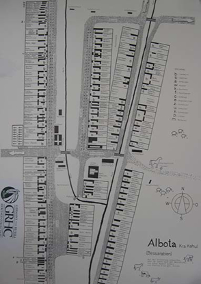
Albota: Date not given
No information given. No cartographer given. Paper: 18 by 24 inches in size Laminated: 35 1/2 by 20 inches in size
$18.00
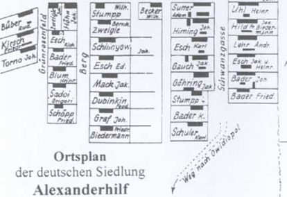
Alexanderhilf: Village map of 1944
296 homes; 340 families; 1,370 residents No cartographer given; Paper: 18 by 23 1/2 inches in size Laminated: 24 by 15 1/2 inches in size
$18.00
Alt - Posttal: Village map of 1940
Founded in 1823. Prepared by Herbert Gäckle. Paper: 22 inches by 52 inches in size Laminated: 18 by 24 inches in size
$18.00
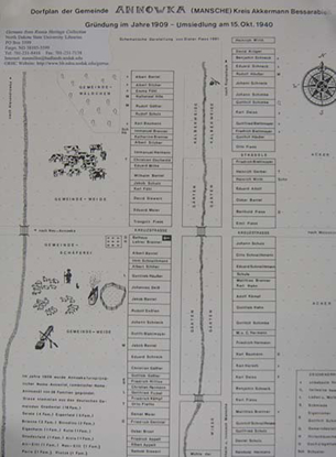
Annowka: Village Map of 1909
38 families, 425 residents. Prepared by von Dieter Fiess. Paper: 11 by 17 inches in size Laminated: 35 3/4 by 23 3/8 inches in size
$18.00
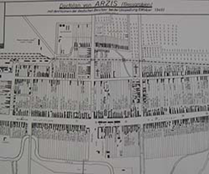
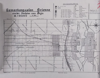
Arzis: Village map of 1940
No information given. Prepared by A. Ziebart. 22 by 32 1/2 inches in size
$18.00
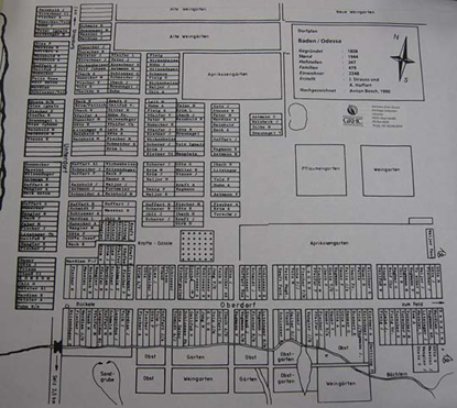
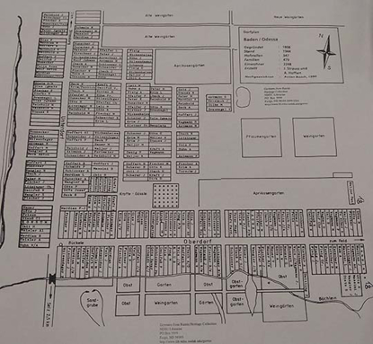
Baden (Version A): Village map of 1944
347 houses, 479 families, 2,248 residents. Village founded in 1808. Map Family Name Identification: J. Strauss and A. Hoffart Prepared by Anton Bosch in 1990. Paper: 18 by 19 inches in size Laminated: 18 by 24 inches in size
$20.00
Baden (Version B): Village map of 1944
394 homesteads; 2,248 residents; Founded 1808; abondoned 22 March 1944 Cartographer by Caecelia Wegmann Prepared for AHSGR by John George, 1994 Paper: 18 by 24 inches in size Laminated: 21 1/2 by 35 1/2 inches in size
$20.00
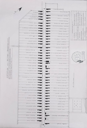
Balmas: Village Map
Prepared by Thomas Schall and Melchoir Koch. 18 inches by 28 inches in size
$18.00
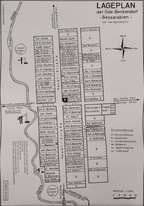
Benkendorf: Date not given
No information given. Prepared by Jos. Sigmund, O'L. Paper: 36 1/2 by 21 inches in size Laminated: 31 by 21 1/2 inches in size
$18.00
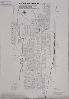
Beresina: Village map of 1940
No information given. Prepared by Adolf Becker. Paper: 36 1/2 by 21 inches in size Laminated: 36 by 23 inches in size
$18.00
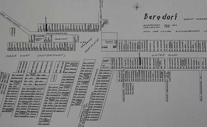
Bergdorf (daughter colony)
Founded 1808-1810, 1,790 residents, village abandoned in 1944 Prepared and reproduced by Ferdinand Maier and Melvin G. Maier, 1996 Further corrected by Ferdinand Maier and Gary Maier, February, 2000; Paper: 15 1/2 by 36 inches in size Laminated: 18 by 33 inches in size
$18.00
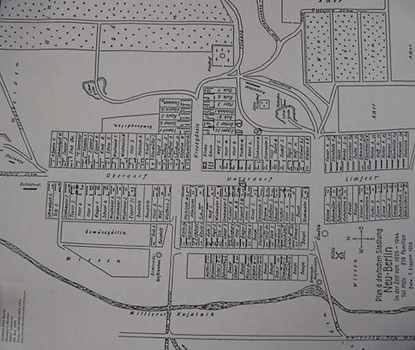
Berlin, Neu: Village map during years 1925-1944
218 families, 141 homes and yards Drawn by T. Eippert, 1956; 18 by 24 inches in size
$18.00
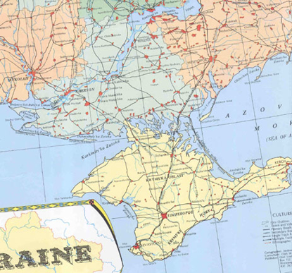
Color Map of Ukraine
Map prepared and produced by Orel Limited, Winnipeg, Manitoba, 1970. Cartographer: Andrew Okrusko. Consultant: Oleh W. Gerus, University of Manitoba, Winnipeg. Scale: 1: 2,000,000 Size: 21" x 38"
$15.00
Dennewitz: Village map of 1940
Map provided by Gerhard Brost, Calgary, Alberta, 2007. No other information provided. 18 inches by 27 inches in size
$18.00
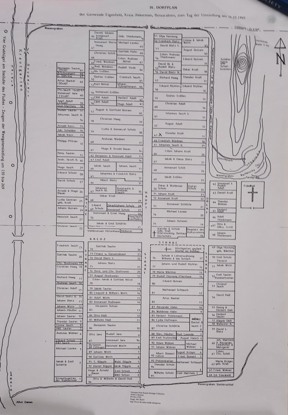
Eigenfeld (version A): Village map of 1940
No information given. No cartographer given. 32 1/2 by 23 1/2 inches in size
$18.00
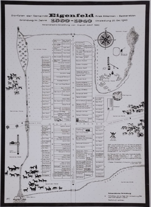
Eigenfeld (version B): Village map of 1940
No information given. Prepared by August Adolf. 32 1/2 by 23 5/8 inches in size
$18.00
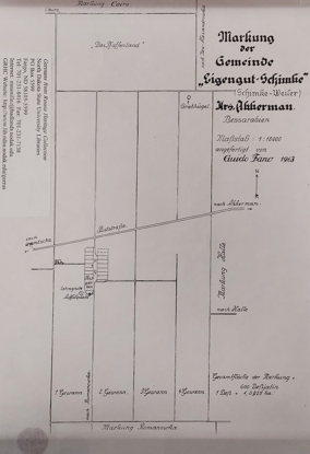
Eigengut-Schimke: Village map of 1903
No information given. No cartographer given. 11 by 8 1/2 inches in size
$18.00
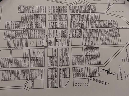
Elsass: Village map of 1944
No information given Map Family Name Identification: Lorenz Prepared by Anton Bosch, 1990; 23 7/8 by 17 3/4 inches in size
$20.00
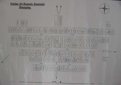
Emmental (version A): Village map of 1940
Prepared by Emil Nagel 18 inches by 28 1/4 inches in size
$18.00
Emmental (version B): Date not given
No information given. No cartographer given. Paper: 36 by 23 inches in size Laminated: 35 by 23 inches in size
$18.00
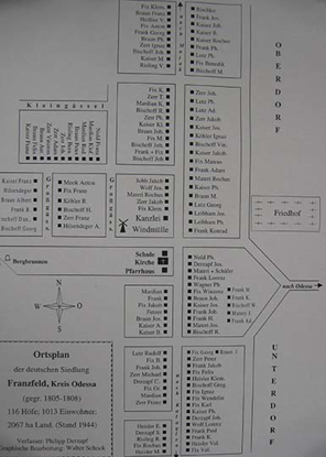
Franzfeld: Village map of 1944
116 homes; 1,013 residents; 2,067 hectare of land Prepared by Philipp Derzapf and Walter Schock; Paper: 17 1/2 by 23 1/2 inches in size Laminated: 24 by 16 1/2 inches in size
$18.00
Freudental, Neu (version B): Village map of 1928
No information given Prepared by John. Koschel, 1967 19 1/4 by 35 3/4 inches in size
$18.00
Freudental: Village map of 1943
191 homes; 1,471 residents; 3,813 hectare in land Prepared by E. Forsch and A. Schlecht; 24 by 17 1/2 inches in size
$18.00
Friedensfeld: Date not given
No information given. No cartographer given. 18 by 24 inches in size
$18.00
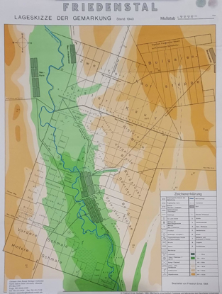
Friedenstal (version A):Village map of 1940 - 1941
No information given. No cartographer given. Paper: 21 by 58 1/2 inches in size Laminated: 23 by 66 inches in size
$18.00
Friedenstal (version B): Date not given
No information given. Prepared by Jakob Kelm. Paper: 18 by 29 inches in size Laminated: 12 1/2 by 28 1/2 inches in size
$18.00
Friedenstal (version C): Village map of 1940
No information given. Prepared by Friedrich Ernst. 24 by 18 inches in size
$18.00
Glückstal: Village map during years 1941-1944
Prepared by Johann Stotz
Paper: 23 1/2 by 36 inches
Laminated: 22 1/2 by 32 inches
$18.00
Gnadental: Date not given
No information given. No cartographer given. Paper: 25 by 36 inches in size Laminated: 23 1/2 by 36 inches in size
$18.00
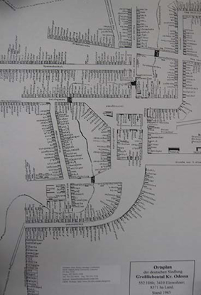
Grossliebental: Village map of 1943
552 homes; 3,410 residents; 8,371 hectare in land Prepared by Jakob Haid Paper: 17 1/2 by 23 1/2 inches in size Laminated: 22 1/2 by 16 1/2 inches in size
$18.00
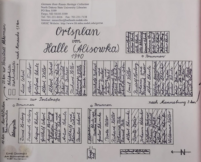
Halle (Alisowka) (Version A): Village map of 1940
No information given. Prepared by Emil Osswald. 8 by 11 inches in size
$18.00
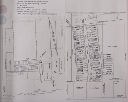
Halle (Alisowka) (Version B): Village Map of 1940
Two maps in one of surrounding field tracts and village map. Cartographer by H. Eckert. Prepared by A. Schimke. 11 by 17 inches in size
$18.00
Helenental: Village map of 1944
152 houses; 973 residents Prepared by Joh. Roth Paper: 18 by 24 inches in size Laminated: 19 3/4 by 27 3/4 inches in size
$18.00
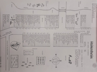
Hirtenheim: Date not given
No information given Prepared by Klara Meske (Christian Fiess) Paper: 11 by 17 inches in size Laminated: 23 by 36 inches in size
$18.00
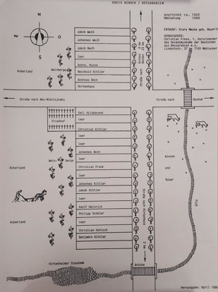
Hirtenheim-Neudorf: Village map of 1940
No information given. Prepared by Klara Meske (Christian Fiess). Paper: 11 by 17 inches in size Laminated: 23 by 36 inches in size
$18.00
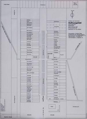
Hoffnungsfeld: Village map of 1940
307 residents. Prepared by Otto Klaiber (Christian Fiess). Paper: 18 by 24 inches in size Laminated: 23 1/2 by 36 inches in size
$18.00
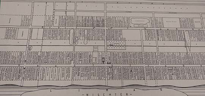
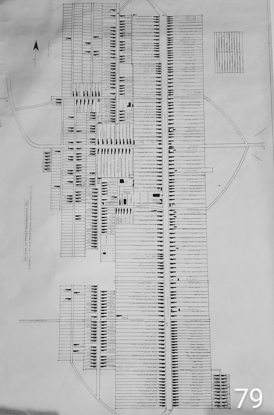
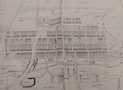
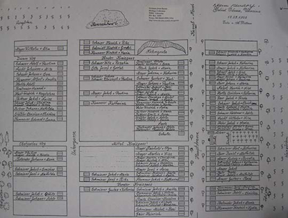
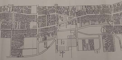
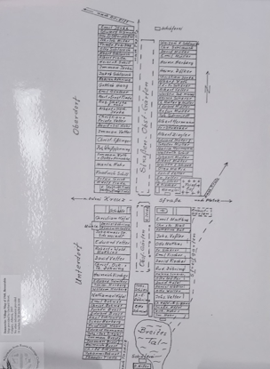
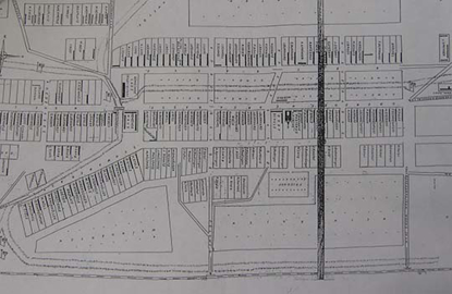
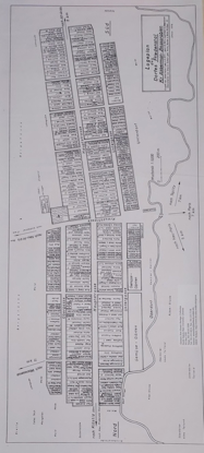
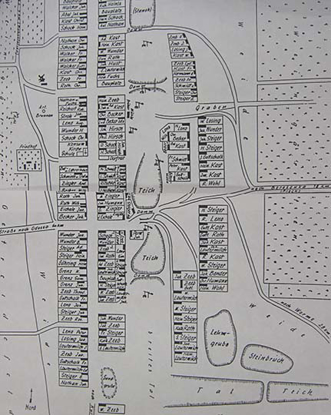
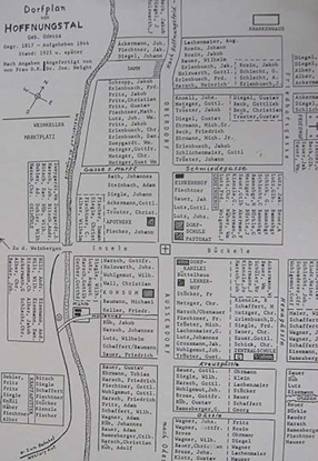
Hoffnungsthal: [Version A] Village map of 1925
Prepared by Dr. Joseph Height 48 1/2 by 22 inches in size
$18.00
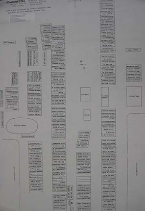
Johannestal: Village map of 1929-1930
240 homes; 1,230 residents Cartographer by Garvin Bertsch in 1989 Prepared by John George in 1992 24 by 36 inches in size
$18.00
Josefsdorf: Date not given
No information given. No cartographer given. 17 1/2 by 33 inches in size
$18.00
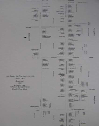
Josephstal: Village map of 1943
318 homes; 1,809 residents; 3,417 hectare in land Prepared by Peter Mock Paper: 18 by 24 inches in size Laminated: 16 by 23 1/2 inches in size
$18.00
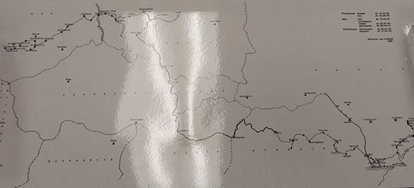
Kandel Origin: Map of Emmigration of Homeland Return from Kandel Village
Kutschurgan District, South Russia (today near Odessa, Ukraine), to Jartschin city, and further to Saxony (March, 1944 - February, 1945) Prepared by Anton Bosch, 1986 11 inches by 24 inches in size
$20.00
Kandel: Village map of 1944
412 houses, 655 families, 3,775 residents Founded in 1808 Map Family Name Identification: Anton Bosch and Josef Linger Prepared by Anton Bosch, 1990 11 1/2 by 35 3/4 inches in size
$22.00
Karamurat, Dobrudscha: Village map
Prepared by Ernst Schäfer and Jakob Söhn 18 inches by 26 inches in size (paper)
$18.00
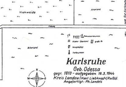
Karlsruhe: Village map of 1944
Kreis: Landau, Odessa Region Village founded: 1810 Prepared by: Karl Liebknecht and Ph. Landeis 18 by 24 inches in size
$18.00
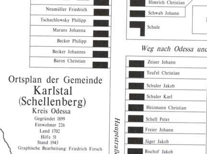
Karlstal: Village Map in 1943
Kreis: Odessa Region. Founded: 1899. Population: 226 (1943). Prepared by Friedrich Forsch. Paper: 17 1/2 by 22 3/4 inches in size Laminated: 17 by 22 1/2 inches in size
$18.00
Kassel (version A): August, 1989
Prepared by Emil Eberhard Veliko Komarovka (Name of city in Ukraine today) 18 inches by 24 inches in size
$18.00
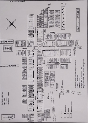
Kathariental: Village Map (no date given)
Kreis: Landau, Odessa Region Village founded: 1817 Prepared by: Unknown 18 by 24 inches in size
$18.00
Katzbach: Date not given
Original village layout. No information given. No cartographer given. 24 x 18 inches in size
$18.00
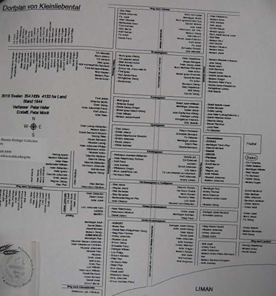
Kleinliebental: Village map of 1944
354 homes; 3,018 residents; 4,133 hectare in land Prepared by Peter Mock Paper: 18 by 21 inches in size Laminated: 17 1/2 by 20 inches in size
$18.00
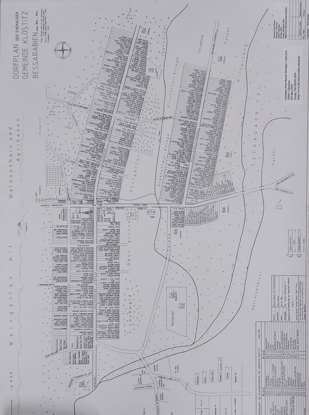
Klostitz: Village map of 1940
3,682 residents, 10,700 hectare in land. No cartographer given. Paper: 21 1/2 by 30 inches in size Laminated: 18 by 45 1/2 inches in size
$18.00
Krasna: Village Map of 1940
No information given, except legend. Prepared by Landsmannschaft der Bessarabiendeutschen, Reinland/Pfalz, Germany. Paper: 30 by 48 3/4 inches in size Laminated: 23 by 37 1/2 inches in size
$18.00
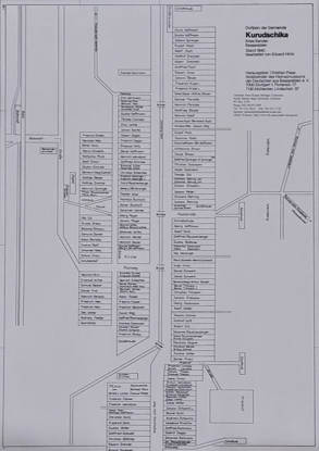
Kurudschika: Village map of 1940
No information given. Prepared by Christian Fiess. Paper: 18 by 24 inches in size Laminated: 24 by 35 1/2 inches in size
$18.00
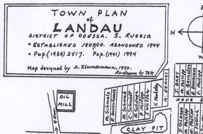
Landau: Village map in 1944, Version A
Kreis: Landau, Odessa Region. Village Founded: 1809-1810. Prepared by A. Zimmerman, 1950 18 by 24 inches in size
$18.00
Landau: Village map in 1944, Version B
Kreis: Landau, Odessa Region. Village founded: 1809 - 1810. Prepared by Karl Liebknecht. 18 by 34 inches in size
$18.00
Larga: Village map of 1940
Prepared by Waldemar Kosak, Melchio Koch and Nikodemus Kunanz. 18 inches by 28 inches in size (paper)
$18.00
Leipzig: Village map of 1940
No information given. Prepared by N. Boettcher, 1979. Paper: 24 by 36 inches in size Laminated: 23 by 36 inches in size
$18.00
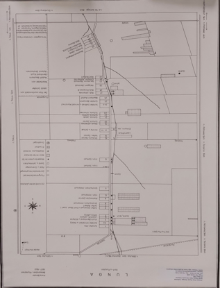
Lunga: Village map of 1940
No information given. Prepared by Jakob Schafer (Christian Fiess). 21 1/2 by 27 3/4 inches in size
$18.00
Mannheim: Village map of 1944
300 houses - no other information given Founded in 1808 Map Family Name Identification: Peter Deschner, Anton Heidt, Engen Hoffart and E. Schaeichterle Prepared by Anton Bosch, 1990
$20.00
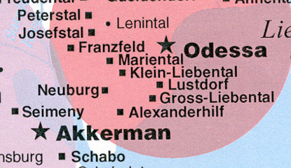
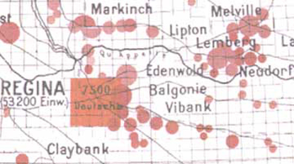
Map 1: Germans from Russia Color Map of Bessarabia/Black Sea Villages
Nineteenth Century Primary German Villages of South Russia Within Moldova, Ukraine, and Romania Today (includes Black Sea, Bessarabian, and Dobrudscha, German villages) Map 1 for the Black Sea German villages clearly identifies the districts of Beresan, Glueckstal, Kutschurgan, and Liebental. The mother colonies for the Bessarabian villages are identified. Villages founded before 1880 are primarily identified on the map.
$15.00
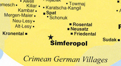
Map 2: Germans from Russia Color Map of Crimea Villages
Nineteenth Century Primary German Villages of South Russia Within Ukraine Today (includes Crimean, Hutterite, and Mennonite German villages) Map 2 presents color circle identification of the mother colonies for Crimea and Tauride, especially the Mennonite colonies for the Inguletz and Molotschna/Prischib areas and Hutterite colonies. The map includes the primary villages for these areas.
$15.00
Map 3: Germans from Russia Color Map of Volga Villages
Eighteenth and Nineteenth Century. Primary German Villages of the Volga Region, plus Sarepta and Old Samara districts. 11" x 17"
$20.00
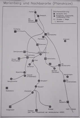
Marienberg (includes Bergdorf and neighborhood)
Date: Unknown. No information given. Paper: 18 by 25 inches in size Laminated: 18 by 24 inches in size
$18.00
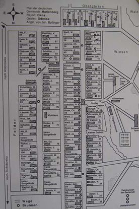
Marienberg (Okna Rayon) (Odessa Gebiet) (circa early 1940's) (daughter colony)
Prepared by Johann Bollinger Map as published in the book, Marienberg: Fate of a Village" 18 by 24 inches in size
$18.00
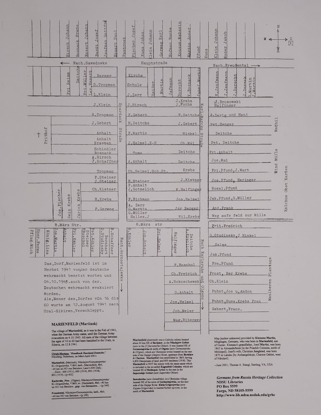
Marienfeld (Mariinsk)
Established 1869 having 6,850 Dessjatines of land and 893 residents (1918). Map [author unknown] provided by Klemenz Martin, Möglingen, Germany, who was born in Marienfeld. Research and text for map by Thomas A. Stangl, Sterling, Virginia, USA. Catholic colony located about 40 kilometers northeast of Berislaw, in the Nikolajew Gebiet (now in the Chersons'ka Oblast). This Marienfeld is not the same name which is included in the so-called Eigenfeld Colonies, which are southeast of Melitopol, further to the east in the Saporoshje Gebiet (now Zaporizka Oblast). 16 inches by 20 inches in size
$18.00
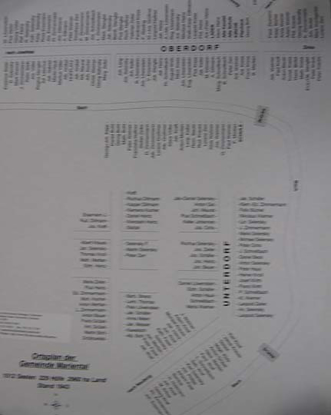
Mariental: Village map of 1943
229 homes; 1,512 residents; 2,960 hectare in land Prepared by Peter Mock, Ulm, 1998 16 by 23 1/2 inches in size
$18.00
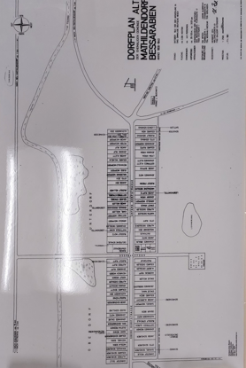
Mathildendorf, Alt: Village map of 1940
443 residents, 2,236 hectare in land. Prepared by Ida Hitsch and Jakob Albrecht. 37 by 23 inches in size
$18.00
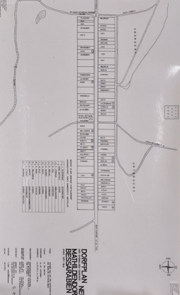
Mathildendorf, Neu: Village map of 1940
331 residents, 784 hectare in land. Prepared by Albert Zeh and Ida Hitsch. Paper: 23 1/2 by 36 inches in size Laminated: 22 1/2 by 35 1/2 inches in size
$18.00
Neudorf, Klein: Village map from 1944
Sketched by A. Bittner. Paper: 17 1/2 by 23 1/2 inches in size Laminated: 17 1/2 inches by 24 inches in size
$18.00
Neu-Freudental (Version A)
Village founded in 1828 Redrawn by John George 18 by 24 inches in size
$18.00
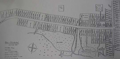
Neu-Glueckstal, 1930
Founded 1860. Persons in village: 519 in 1914, 675 in 1926, 785 in 1944. Village size: 1.8 kilometers long and .8 kilometers wide. Prepared by Dr. Richard Walth, Bruehl, Germany. Paper: 18 by 25 inches in size Laminated: 18 by 24 inches in size
$18.00
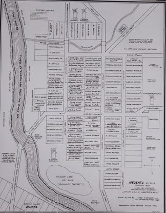
Neusatz: Village Map of 1935
Information: Catherine Sherby, 1987 Redrawn by John George, 1992 23 by 29 inches in size
$18.00
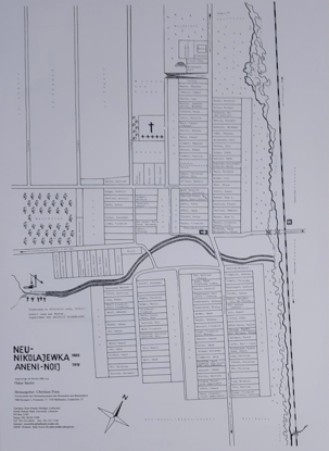
Nikolajewka, Neu: Date not given
No information given. Prepared by Oskar Sauter (Christina Fiess). 24 by 35 1/2 inches in size
$18.00
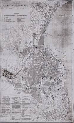
Odessa (Military Geographic Topography): Map of 19
Map at 1:15,000 scale. 38 ½ by 23 inches in size
$18.00
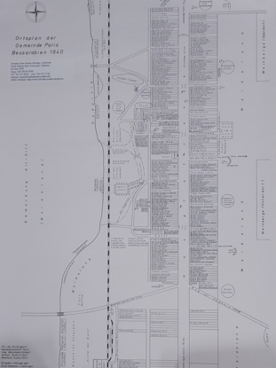
Paris: Village map of 1940
No information given. Prepared by Erich Mammel-Lienzingen. Paper: 25 by 36 inches in size Laminated: 23 by 35 3/4 inches in size
$18.00
Peterstal: Village map of 1943
76 homes; 920 residents; 3,000 hectare in land Prepared by Eduard Stephan 17 1/2 by 23 1/2 inches in size
$18.00
Rastadt: Village Map of 1944
Kreis: Landau, Odessa Region. Village founded: 1809 - 1810. 389 homes, 529 families, 2,360 residents. Prepared by Raphael Böhler and Johann Fröhlich. 18 by 24 inches in size
$18.00
Sarata (version A): Date not given
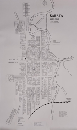
No information given. No cartographer given. Paper: 36 by 47 1/2 inches in size Laminated: 22 by 45 inches in size
$18.00
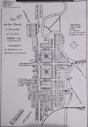
Sarata (version B): Village map of 1940
No information given. No cartographer given. Paper: 36 by 47 1/2 inches in size Laminated: 22 by 45 inches in size
$18.00
Sarata (version C): Date not given
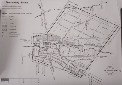
No information given. Prepared by Wilhelm Wagner (Christian Fiess). 22 by 38 1/2 inches in size
$18.00
Sarata (version D): Date not given
No information given. Prepared by Wilhelm Wagner (Christian Fiess). 11 by 16 inches in size
$18.00
Saratov/Balitzki (Odessa Region)
Daughter colony of the Glueckstal District, South Russia Circa 1943 62 farms, 65 families, 298 people Map prepared by Johann and Anetta Stroh, Germany 18 inches by 24 inches in size
$18.00
Seebach (Luncha), by Birsula (Kotovski), Ukraine
Prepared by Thomas A. Stangl, copyright 2001, with assistance from Adolph Mainhardt, son of Philipp, Metterzimmern, Bietgheim-Bissingen, Württemberg, Germany, June 2001 16 by 20 inches in size
$18.00
Seimeny: Village map of 1940
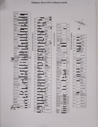
No information given. No cartographer given. 24 x 18 inches in size
$18.00
Selz: Village map of 1944
416 houses, 416 families, 3,150 residents Founded in 1808 Map Family Name Identification: Rochus Weigel Prepared by Anton Bosch, 1990 Paper: 16 1/2 by 24 inches in size Laminated: 36 by 11 3/4 inches in size
$22.00
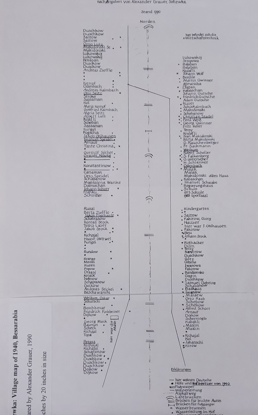
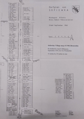
Sofiewka: Village Map of 1940 (re-drafted)
Re-drafted by Jacob Ohlhausen, September 1959, for Uls Windmiller. 21 1/2 inches by 43 inches in size
$18.00
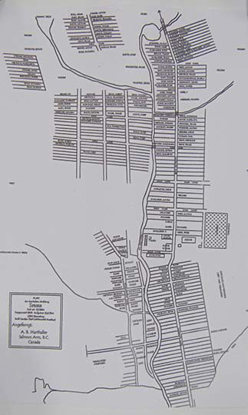
Speier: Village Map of 1944
Kreis: Odessa Region. Village founded: 1809. Population: 2550. Prepared by A.B. Marthaller, Salmon Arm, BC, Canada. 18 by 24 inches in size
$18.00
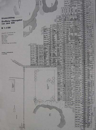
Straßburg: Village map of 1940
Founded in 1808 Large detailed map; details complete layout of village including houses with family identification, etc. Prepared by Eugen Schwan, Wilhelmina Becker, Adelina Brotzel, Lydia Fischer, Alois Schneider and Vinzenz Fischer; designed by Lydia Schwan Klein (all former residents of Straßburg) Esslingen, Germany, 3 June 1994. Paper: 17 1/2 by 24 inches in size Laminated: 24 by 36 inches in size
$15.00
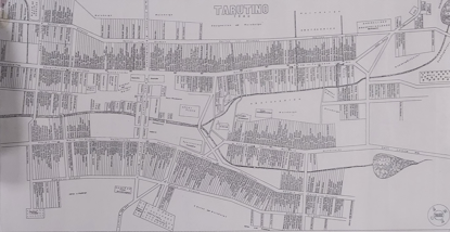
Tarutino (version A): Village map of 1940
No information given. No cartographer given. 21 11/16 by 43 inches in size
$18.00
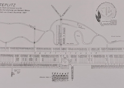
Teplitz: Village map of 1940
No information given. Map design by Herbert Weiss. Prepared by Erwin Buchfink, 1987. 18 inches by 35 inches in size
$18.00
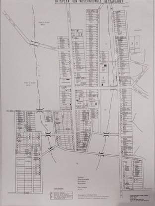
Wishniowka: Village map of 1940
No information given. Prepared by Otto Gwinner (Christian Fiess). 33 by 23 1/2 inches in size
$18.00
Wittenberg (version A): Date not given
No information given. Prepared by V. Bauer (Christian Fiess). Paper: 16 1/2 by 16 1/2 inches in size Laminated: 24 by 24 1/2 inches in size
$18.00
Wittenberg (version B): Village map of 1940
No information given. Prepared by Otto Bollinger, 1984. Paper: 19 by 26 inches in size Laminated: 23 1/4 by 32 1/2 inches in size
$18.00
Worms: Village map in 1944
Village founded: 1809. Cartographer unknown; map courtesy of Joseph S. Height. Paper: 11 by 18 inches in size Laminated: 17 by 24 inches in size
$18.00


![Hoffnungsthal: [Version A] Village map of 1925 Hoffnungsthal: [Version A] Village map of 1925](https://grhc-northdakotastate-ndus.nbsstore.net/images/thumbs/0002052_hoffnungsthal-version-a-village-map-of-1925_415.jpeg)
